These images from the The Texas State History Museum show the La Belle hull on permanent display in the ground floor gallery and a Nocturnal found among other artifacts when the ship was recovered.


Our field trip for 75 7th graders focused on the tools of navigation used in that era that were created by mathematicians. We challenged ourselves to create activities that would display and explain the navigation instruments and reveal the mathematical relationships in them through interactive activities. Students assembled a parallel ruler to take home as part of the program. This “making” component was very popular with students.
-

- UTeach Intern Ashley Cauich explains the parallel ruler to a student who will shortly be assembling one for himself.
-

- The Dippers can rotate around the North Star. Setting the Nocturnal directly on the disk is the best simulation since light from the stars hits earth in parallel lines. The dippers change location in the sky depending on the date and rise and set according to the time (of night)
-

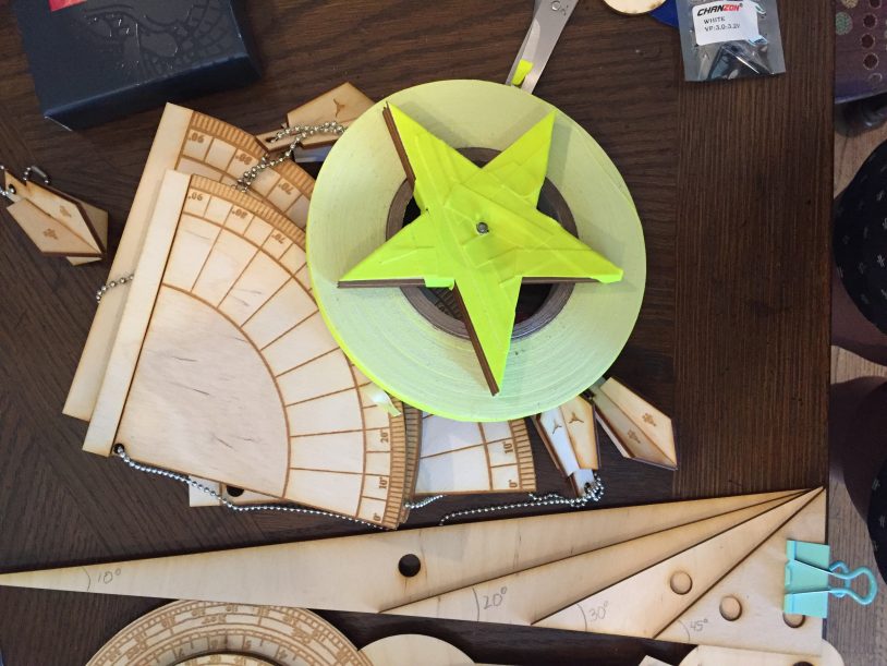
- Quadrant, North Star, Tape and set of Triangles. Find latitude by pointing Quadrant at North Star. If you know the height of a lighthouse you can also use the Quadrant to find your distance from it at night which the triangles demonstrate.
-

- These two maps show the difference between the Mercator Map with longitude lines parallel to each other and a traditional map. The Mercator Map allows navigators to draw a straight line and plot a direct course. The 3d printed shells demonstrate the distortion of northern continents. When you shine a light a the top of the shell, translating to a flat surface the shadow is a perfect 6×6 square grid.
-

- Learning to use the Quadrant with UTeach Intern Quan Vuong
-

- Figuring out the Nocturnal with UTeach Intern Ayesha Quadri
Nocturnal. Students were challenged to interpret the many markings on the moving parts, to relate the nocturnal to a display showing the motion of the dippers around the north star and to then connect that to the rotating dials.
Quadrant. Students worked in pairs, one to aim the replica quadrants at a “north star” on the wall and the other to read the degrees. In the span of the activities room students could move from a few feet to 30 feet away and readings varied from 45 degrees to almost zero. In Texas, these quadrants would read 32 degrees which is our latitude. In addition, the quadrant can be used to estimate distance from an object – say a lighthouse at night if the height of the object is known.
Mercator Map. The Mercator Map allows navigators to plot a straight line course that corresponds to a single compass heading. Because the longitude lines are parallel to each other, continents in the north are distorted and appear larger than those at the equator. We looked at map examples, shined a light into a shell that had windows of small size at the top and larger at the bottom. The shadow forms a perfect 6 x 6 grid. Also a student volunteer was guided to walk a curved line, and then to return following a curve, but moving faster (heavier winds) and compare this with walking a straight line and returning along that straight course at a faster pace. It becomes clear that the straight line is much safer and offers a greater likelihood that the navigator can know his location and best course.
Parallel Ruler. The Parallel ruler is a device used by sailors in the 1600s all the way to the present. It helps with mapping and plotting a course. The rulers articulated parallel parts allow a navigator to translate his plotted course to the compass rose on the map and note a precise heading.